The suburb of Karjasilta, immediately adjoining the city of Oulu in northern Finland, was designed in the 1930s and built in the 1940s. The plan seems to have been the work of Matti Heikura, about whom I have been able to discover very little so far.
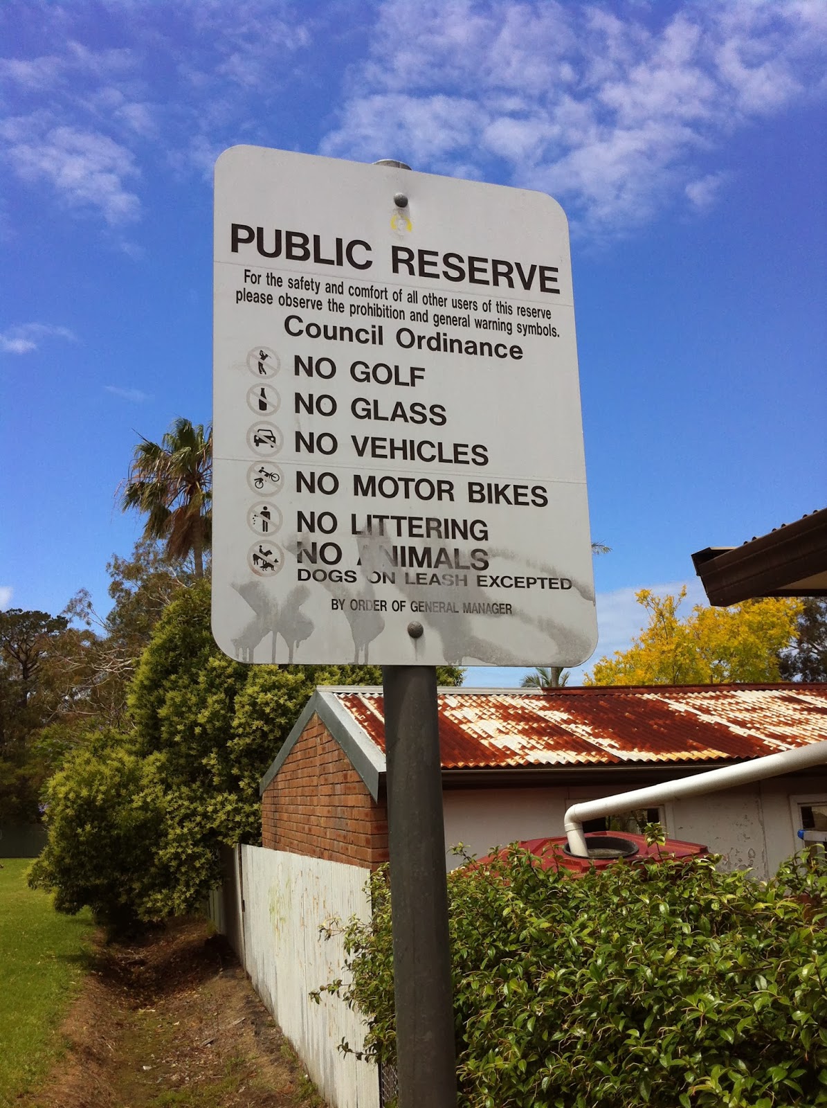
The suburb is surrounded by parkspaces and as you can see from this Oulu tourist map it contains three internal reserves: Mätäspuisto in the north, Hillapuisto in the middle (the suffix '-puisto' means 'park'), and an unnamed reserve in the south. While these spaces are named on the map, they are in no way signposted or even acknowledged generically in signage on site.
Whereas urban Finns will commonly enjoy an open courtyard space at the rear of, or inbetween, apartment blocks (of which more in subsequent postings) and while a significant portion of Karjasilta is apartments, all of these reserves are surrounded by wooden housing which even those with merely a passing interest in architecture would likely recognise as Finnish vernacular. With one exception, these spaces are seemingly used only for recreation purposes. Here they are discussed and depicted from north to south:
Mätäspuisto
One of the extraordinary aspects of internal reserves we have noted worldwide is that one reserve can flourish while another, in close proximity, has apparently 'failed'. Of course, such 'failure' is not a permanent state. In the case of Mätäspuisto and Hillapuisto, however, it might be imagined that some element of prescribed function is the reason for Hillapuisto's comparative success, though both are delightful.
The path into Mätäspuisto from Arthurintie in the north features a rubbish bin and is overlooked by this attractive small summer room in the yard of the adjoining house.
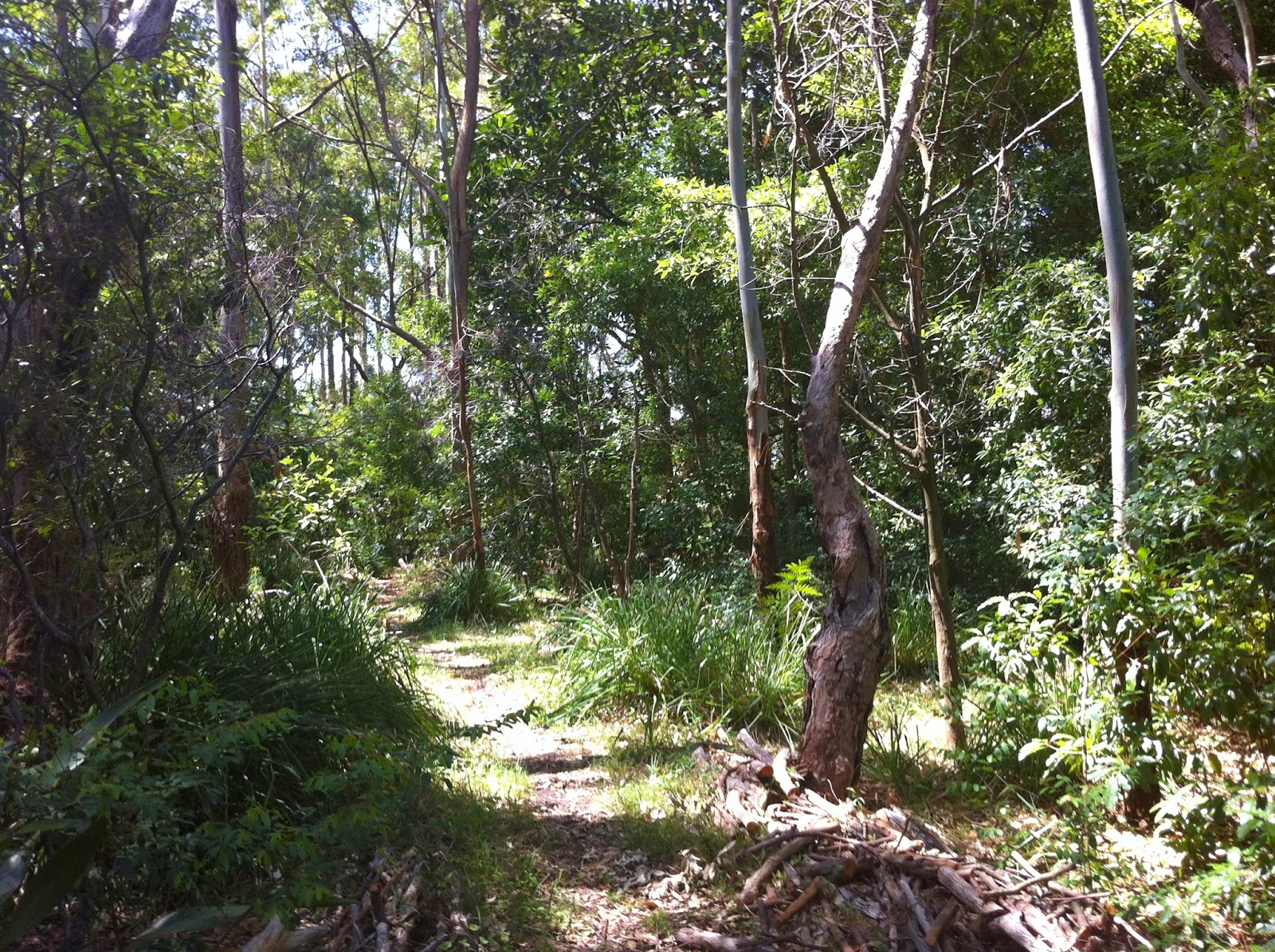
The gravel path winds through the reserve which is heavily wooded.
There is a clearing with no prescribed function. The reserve is kept free of rubbish but otherwise seems somewhat neglected.
This is the path across Rehulantie between Mätäspuisto and Hillapuisto:
Hillapuisto
While I have no way of gleaning the meaning of the above reserve's name, my Finnish-English dictionary tells me that various words beginning 'Hilli+' can mean 'well-controlled', 'discreet', 'subdued' or 'quiet'. (Update: another attendee at the conference I gave a paper at in Oulu told me that this name related to a kind of berry which grew in the area).
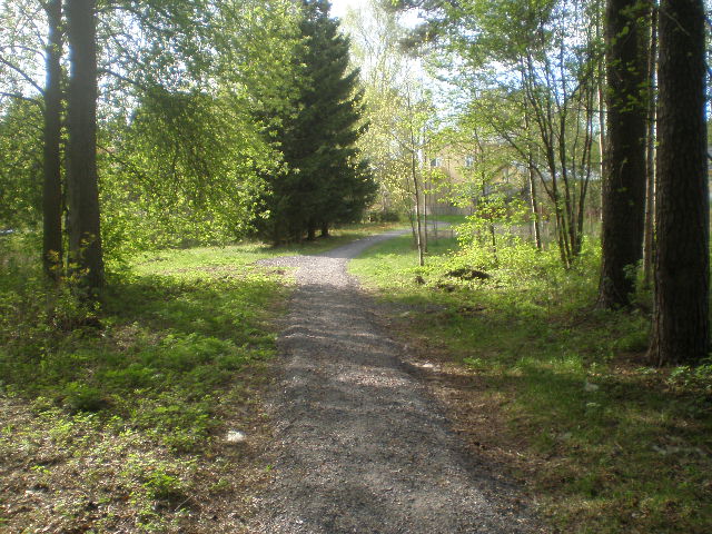
Hillapuisto is almost square. Its trees are sparser than Mätäspuisto's but still quite regular throughout, except where ground has been cleared firstly for a small soccer pitch and secondly for what is presumably another ball game, though there is no indication what it might be. As per Mätäspuisto, gravel paths run through the space.
Permeability between private backyard space and internal reserves is always of interest to me and in this case the rear fences of housing are very low and allow visibility into the park and of course from the park into the space. Every house has a fence of some sort, though in some instances gates are missing.
The one example of reserve use for anything other than recreation is the piles of grit/sand, which are presumably kept handy for general use during snow fall. Oulu is one of the only cities of its size (170 000+) so far north.
This is the patch of maintained grass the use of which I cannot ascertain.
In the time I spent in this reserve (probably 15 minutes around 7pm) I saw numerous dogwalkers but no-one stopped to sit (except me). There was a group of four or five middle-aged people at a table within their yard space on the eastern side of the reserve, close to it and looking out onto it - that is, they were enjoying the space and the prospect, but remained firmly in their own area.
Stylised gate opening into reserve close to the Rehulantie entrance.
Some kind of utility building, distinctively painted, also near Rehulantie.
Unnamed reserve:
As might be gleaned from the small open way to its west in the above map, this is essentially a drainage reserve, with a ditch running through it.
An older wooden apartment house which backs on to this reserve.
More information on these spaces if or as it comes to hand. Meanwhile, a paper on preservation of the Karjasilta housing stock can be found
here. Google map of the area
here.