A record of field trips and other explorations of a particular urban design element - the internal reserve - a 'pocket park' surrounded on all sides by residential housing but accessible by pedestrian pathways from the street. They are exclusive, secluded, sometimes neglected, sometimes celebrated, suburban spaces. This blog welcomes contributions: comments, images, memorabilia. Please email nicholsd@unimelb.edu.au
Sunday, May 22, 2016
Saturday, May 21, 2016
Plympton, South Australia
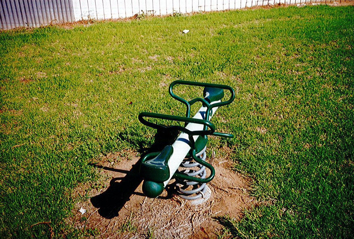
There is a saying about throwing good money after bad, and it's applicable to a world beyond money i.e. I did visit this very nondescript space (probably in 1999 - the same time I visited Hectorville) and take ten (10!) photographs of it (including two of the playground equipment), and I then assiduously filed those pictures away, and then I dug them out again recently, scanned them (on a rather lurid setting - sorry) and presented them here for you.
Here is the original submitted plan, from Frank Parsons of Adelaide, dated 30 November 1942. You'll note by comparison with the google map that Lot 123 has been widened, and the pathway into this reserve - Lot 122 - narrowed considerably as a result.
One intriguing element is the little 'indent' at the south-west corner of the plan which is clearly Parsons throwing his hands up in the air at the impossibility of the subdivisional jigsaw. I photographed it - see above.
The reason for my ambivalence is simply that it's such a nondescript space. Adelaide is notoriously a dry city, often very hot in Summer, and it can be difficult to get things like trees to grow there. This space is too 'open' for my taste, maybe that's just me.
Here is the original submitted plan, from Frank Parsons of Adelaide, dated 30 November 1942. You'll note by comparison with the google map that Lot 123 has been widened, and the pathway into this reserve - Lot 122 - narrowed considerably as a result.
One intriguing element is the little 'indent' at the south-west corner of the plan which is clearly Parsons throwing his hands up in the air at the impossibility of the subdivisional jigsaw. I photographed it - see above.
Friday, May 20, 2016
Hectorville, South Australia
It appears from this registered plan that this small triangle of land was lot 65 of a 65-lot subdivision in Hectorville, a suburb of Adelaide, lodged on 31 October 1925 by surveyors Barry and Moyle.

I can't be absolutely certain (bad record keeping - what can I say, I was learning the hard way that I wasn't always going to remember everything I ever did) when I visited this site, though I think it was probably 1999, when I was attending the Urban History Planning History conference.
Thursday, May 19, 2016
Bradford, UK 1913 competition entries
Apologies for the poor quality of these images, from an old photocopy - I really should find the original and rescan with up-to-date technology. This in any case is from Town Planning Review vol 4, 1913-14, p. 334.
Bluegum Park, Youngtown, Tasmania
I visited Bluegum Park on the 9 February 2002.
The three pictures I have to hand show a diverse landscape.
Here it is in my Launceston Atlas (1979). Interesting array of street names, I can't imagine what links those eight, though I suppose more likely Jubilee and Brooklyn roads are earlier roads and the tree-named roads came later. Just call me Sherlock.
It's on google map here.
The three pictures I have to hand show a diverse landscape.
Here it is in my Launceston Atlas (1979). Interesting array of street names, I can't imagine what links those eight, though I suppose more likely Jubilee and Brooklyn roads are earlier roads and the tree-named roads came later. Just call me Sherlock.
It's on google map here.
Thursday, May 5, 2016
Noone Street, Clifton Hill, Victoria
An unusual example of the internal reserve for Melbourne: slotted into a public housing block in Clifton Hill, very close to the onramp of the Eastern Freeway. See it in situ here.
Not the world's most delightful internal reserve but it still does have functional play equipment and at time of my visit, a very happy dog - just visible in the final picture below - and its owner.
Wednesday, April 27, 2016
Subscribe to:
Posts (Atom)
Ohvitseride (Officer's) Park, Tartu, Estonia
You can find it here . I visited on 8 July 2026. Estonian wikipedia says: The park covers an area of 8,424 m² and formerly served as the ...
-
Significant portions of the Netflix series Deadwind (known in Finland as Karppi) were filmed - I'm 99% certain - in Puu-Käpylä. I can...
-
Comparison between the above from a relatively new UBD street directory and the current Google Map shows some disparity in the shape of t...