Saturday, June 1, 2019

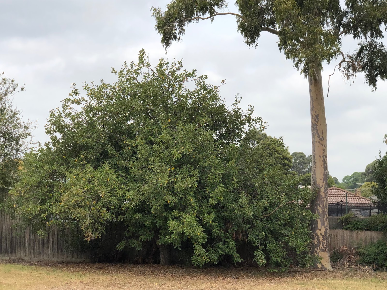
Glenhurst Park, Coldstream

Coldstream, effectively a north-eastern suburb of Melbourne, is a small commuter settlement that has always confused me as it seems to conform to many of the style elements of the 1920s subdivision - not least because of its three internal reserve spaces - but there does not seem to be any record of it before the 1960s. Whether the subdivisional plan was completed long before any land was sold is unclear. It may be that it is a genuine 1960s idea. Possibly someone who reads this will have some better idea than I do. 
As is evident from Google Maps, whatever status Glenhurst Park enjoys in the original plan, it is actually open-ended to the north - at present. This is not to say it will not, at some stage, be fully enclosed.


Visit it here.

Wednesday, February 20, 2019

Rye Beach Estate, Mornington Peninsula, Victoria

Via Victoria Kolankiewicz.

John Quinn & Co was a highly successful but let's be fair somewhat dodgy real estate developer active in the first half of the 20th century; one of the things the company made a bad habit of was piggybacking developments on other larger estates, qv Quinn's 'Milleara Station Estate' (where there was not and never will be a station) near the much more important Milleara Estate. In this case the only really 'dodgy' element is the extremely peculiar imaginative surrounds to the otherwise accurate plan, which puts the 'Back Beach' right next door, whereas it is more like 12 km away. Queenscliff and Portsea are, similarly, 12-14 km further away. The suggestion that the Pacific Ocean is 4 miles from the estate is also arguable.

What is important for us is of course that in this design via the surveyor Bonwick, we see a well-placed internal reserve (now known as Quinn Park) one block back from the beach. The park space is, you will note, included without comment: it's just best practice for the time.

When was 'the time'? The estate was being actively promoted in 1927, as per this ad from the Melbourne Herald 28 September of that year, page 17. Note there is some uncertainty about whether the homeowners of Rye Beach Estate should be weekend-only or permanently abiding.

This was largely built as designed. View it here.

Monday, February 4, 2019

Liverpool Garden Suburb, 1911

From Town Planning Review Vol. 2, No. 1 (April 1911) pp. 69-89. Three competition entries for a garden suburb. Dixon's was the winner; it is clear that something along these lines was built here.


Thursday, January 31, 2019

Dorfplatz, Wangerooge, Germany

As this blog has shown, there are many ways to slice and dice the idea of the 'internal reserve', and we have seen an enormous variety of them. However, we have in many instances seen the form's originators express the hope that internal reserves serve primarily to keep children away from street traffic, and of course the initial burst of enthusiasm for internal reserves - a little over a century ago - came at the same time as the first real rise of the automobile from a curiosity to something which had to be contended with as a danger as much as it was an advantage.

That's why the park known as Dorfplatz, on the picturesque holiday island of Wangerooge in the East Frisians, is something of an anomaly: the island permits no cars (or at least, no private vehicles, and no roadway wide enough for two conventional automobiles to pass each other). 

That said, this particular park space conforms in all other ways to the internal reserve form, with some extra delights that make it a great template for these kinds of spaces. Key amongst the 'conforming' elements are that surrounding properties have direct visual connection to the space and gateway access; it is hidden from, but close to, the central shopping area and it is used and valued by local residents. View it here; note its proximity to a much more 'public' park, the Rosengarten. 

I visited it twice, on the 30th and 31st of January 2019, and I have to say that as an Australian, from a place that sees snow about twice a century (and then momentarily), I was much taken by the apperance of the place in the second of these visits. 

The space is divided into three parts. The northernmost serves as the garden for a hotel, the New Hampshire. The middle part is essentially featureless; the southern section is treed, with a war memorial and serves as a memorial area at the front of a church. Thus, the space is commercial, neutral and commemorative in equal measure. 
 
Above: directly adjoining the hotel. Below: the middle area

 Below: the treed memorial area, church behind


 Below: southern end walkway
 Below: central area
 Walkway at western side of park space


Friday, December 21, 2018

Nevis Court Reserve, Endeavour Hills Vic.

Endeavour Hills in Melbourne's south-west dates from the early 70s when it was developed by Lewis Land; it was reported in the Melbourne Age in 1974* that it would ultimately have a population of 40 000. As you can see from the google map there remains a lot of open space throughout at various sizes and presumed uses. 

Nevis Court Reserve is, essentially, a playground reserve with pathways going to three corners. All four corners of the reserve are exposed to the surrounding cul-de-sac roads. This visit 21 December 2018, hence the polar bears surveilling the space alongside the magpies. 


 A concreted space for a bench, presumably.


 Someone has been trying out their tags on the playground equipment but no structural damage...
*Christopher Davidson, 'Something Healthy in Development', Melbourne Age 5 June 1974 p. 21

This ad is from the Age 7 September 1974, p. 57

Wednesday, October 3, 2018

Barmera, South Australia

Above, Charles Reade's Barmera Garden City (draft plan no. 8) from November 1920; below, 'Current Barmera plan' with the dotted line showing area of the Reade plan. Note that the two plans are oriented differently; Reade's plan has north at the bottom. From Christine Garnaut, 'Making Modern (River) Towns: town planning and the expansion of the Upper Murray irrigation area' Journal of the Historical Society of South Australia, 31, 2003 pp. 69-80.  
As Christine Garnaut's excellent 2003 article illustrates, Charles Reade's time as South Australia's first state town planner has a remarkable legacy. It is not immediately obvious in the original plan above, but it is in the second illustration, that Reade included (or at least: there came to exist!) two internal reserves in his plan for Barmera. I am tempted to write that neither are particularly happy places today, but this is perhaps an ignorant assessment. They don't look like much fun on google map. The reserve within Barwell Ave, Sturt St, Bice St and Scott Ave is now a car park - see it here.  The southern reserve is in slightly better shape in a manner of speaking - at least, it has some kind of foliage on it. It's between Tonkin Ave, Fowles St, Farmer St and Manuel Road, and can be viewed here. 

Reserve bounded by Cedar St/Laver Grove, Mayfield, Tasmania

I have not been able to find out anything at all about the estate surrounding this IR but I am going to suggest it is a subdivision of land ...