The internal reserve is most definitely a
feature derived from early 20th century town planning. Our
hypothesis, broadly speaking, is that the planners of that era were of the
opinion that internal reserves gave residents of planned environments agency to
shape not only their local public space but also the character and purpose of
their community. However, changes in both western society (from communal ideal
to individual, inward-focused family) and planning practice (little was built
or designed during the 1930s and 40s, meaning that many estates designed in the
1920s or earlier were still being populated in the 1950s) left residents at
best uncertain about the internal reserves they had inherited, and at worst
antipathetic towards them.
It is always surprising, then, when late 20th
century designs which are not directly related to new urbanism include internal
reserves. The small town of Rawson – 120 homes in less than 20 streets in the
west Gippsland area of Victoria, close to the well-known gold mining ‘ghost
town’ of Walhalla – was designed by Don Hendry Fulton and commenced in the late 1970s by the Melbourne Metropolitan
Board of Works, a long standing and for much of its existence very powerful
semi-autonomous state government body. Though this was almost certainly not
obvious at the time, the MMBW was at this point in its last decade of
existence.
Rawson was built to house those working on the
nearby Thomson Dam, with dormitories constructed for labourers and relatively
grand homes for professional staff. Rawson, at its peak, housed 1500 people, an
article in the Melbourne Age
by Barbara Fih (‘The town that is too good to stay
alive, Age 15 May 1985 p. 3) tells us. Fih also recounts that the MMBW ‘built a
25-metre swimming pool, squash courts, three tennis courts, a shopping centre,
oval, recreation hall with a basketball court in it, a primary school and
reserve.’ The town ran at capacity for two years until May 1983, when the dam
was opened after which the population quickly dwindled and the houses were sold
off. Public services were opened to tender with the MMBW: the local petrol station,
as one example, was advertised as available for lease with the option to
purchase (The Age, Wednesday 20 June 1984, p. 28).
The ‘reserve’ Fih mentions is probably not the
internal reserve of interest to this blog, but a sports and recreation reserve on Tyers-Walhalla Road. Even Google Maps seems
resistant to recognizing the St Phillack Reserve, which is however featured on
Baw Baw Shire’s website and noted for featuring a ‘playground’ and ‘walking
trails unpaved’. Which is all true! However, confusingly, the reserve is not
zoned as open space (though clearly used and, as mentioned, labeled as such).
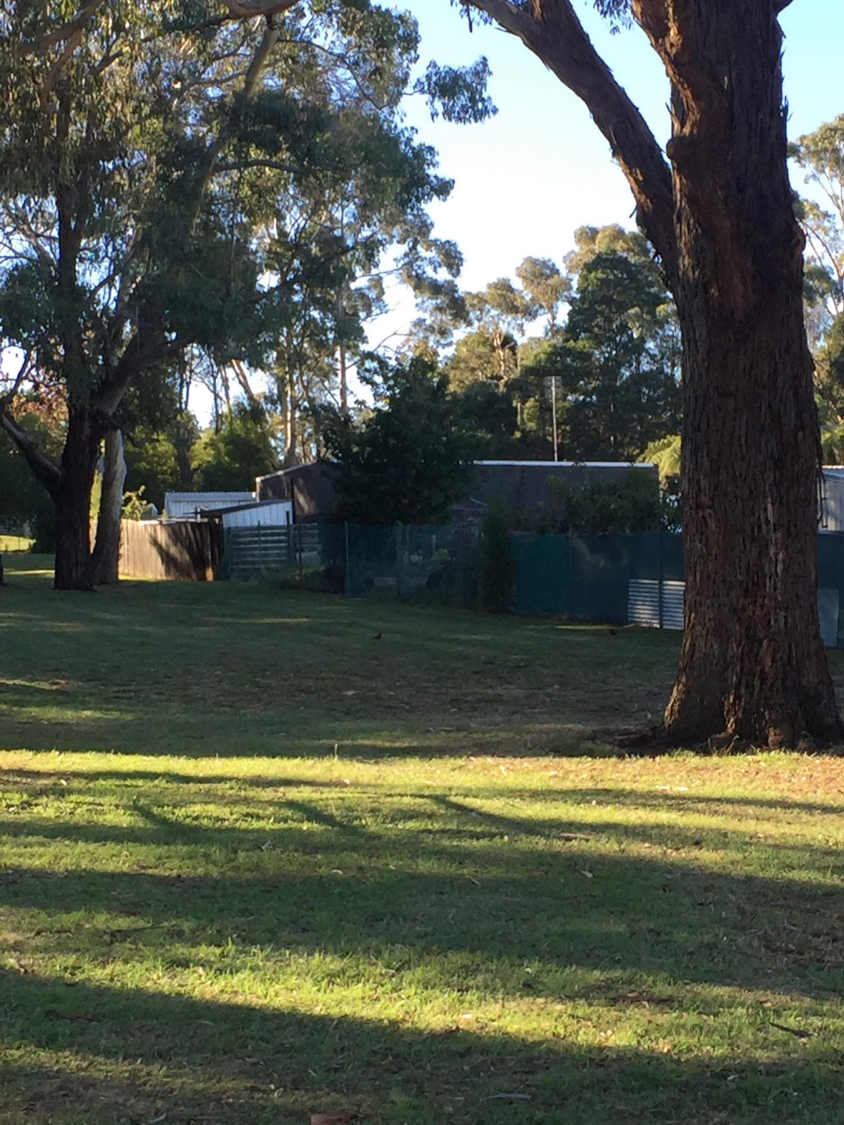
The space is best described as an off-street
children’s playground and dog park (though in truth the streets of Rawson seem to be rarely
troubled by traffic). The play equipment, though not new, is in good condition.
What is perhaps most interesting about the site in terms of its design is that
it features a large number of old and tall trees, and while no doubt the entire
Rawson area was until quite recently covered in similar vegetation, in this
instance it is clear that the decision was made that an interior park space
would be an opportunity to retain trees on site.
Many of the local homes feature transparent
(usually, chicken wire) back fences and many also have gates into the reserve,
which has three entrances. Cooper’s Creek ‘begins’ immediately south of the St Phillack Reserve
but does not appear to have ever run through the land the reserve is currently located
on.
A note about names: The name St Phillack is
apparently that of a mountain. The nearby street Von Meuller Drive commemorates
noted landscape gardener and botanist Ferdinand von Mueller (note – the
commemoration misspells his name!) who climbed Mount Baw Baw. Another nearby
mountain, Mt. Selma, is the inspiration for Selma Drive. Other streets recall
the area’s gold mining history: Morning Star Crescent is named for the Morning
Star Gold Battery site, a significant heritage location proximate to Walhalla,
and Little Boy Crescent the goldfields tramway of that name. Stander Drive is
after a creek. The town itself is named for a local landowning family; it was a
source of some controversy at the time of creation, as the MMBW favoured the
name Robertson after chief engineer A. G. Robertson (some locals are reported in a 1979 Age article to have favoured
Parker Corner, apparently an extant local place name - though MMBW advertising from the late 1970s renders this as Barker's Corner) (Steve Harris and Kerry
Wakefield, ‘Town hits problems’, Melbourne Age 26 April 1979 p. 13).
View it here. More pictures below.
Thanks to the redoubtable Victoria Kolankiewicz for extensive work on this post, including locating the reserve in the first place.