Tuesday, March 23, 2021

Industrial town project, Federal Terratory, (sic) Australia


A project from the office of Walter Burley Griffin dated 1916 and held in the National Library of Australia's Eric Nicholls collection. I think I can count 36 internal reserves in this plan, though there may be more (it's not always completely distinct). If I remember correctly this is one of the projects the Griffins produced reluctantly (as it diverted their attention from the main game of their Canberra plan) but, as can be seen, with their usual attention to detail and great ingenuity. 

I could be wrong but I think one or two of these internal reserves actually follow the course of creeks, which is unusual for the Griffins though pragmatism was not unusual in their work. The city centre detail is below.


Tuesday, February 16, 2021

Karppi, aka Deadwind, at Puu-Käpylä


Significant portions of the Netflix series Deadwind (known in Finland as Karppi) were filmed - I'm 99% certain - in Puu-Käpylä. I can't place the actual houses above (or below) but it certainly fits the look and feel. The bottom right of the above aerial shot is of the shared open space. We see this rarely, although in the first episode the first time we meet one of the significant characters in the program, Usko Bergdahl, who lives in one of these houses, he is doing some outdoor work in the snow with his neighbours in such a space. 

Usko is a taxi-driver, which I am going to guess in Finland as elsewhere is something of a blue collar job, and his wife Anna is a high profile (?!) social worker acting as a consultant to a major enviro-developer. I figure that there is a slight subtext here that Puu-Käpylä is one place where two people of very different socioeconomic backgrounds might live. That said, this is never identified as Puu-Käpylä.
Spoiler: the final episode of the first series gives what I believe to be a false impression, that these houses are joined together in their basements. I guess I could be advised otherwise but even in the show it seems to be something that has to be explained as an anomaly, so I am going to assume it's not real. 

I also doubt that the image above necessarily corresponds to the aerial shot, which is used many times in the show.  Here is a link to Puu-Käpylä however if you want to try and locate it. 

Wednesday, December 30, 2020

Kalinda Modified Urban Forest, Kalinda (North Ringwood) Vic

‘Marica Close, North Ringwood, seems like just another short, dead-end street when the visitor turns into it' wrote journalist Graham Betley in 1992. 'But at the top of the rise a whole new vista opens up.

‘The street ends at the boundary of the Kalinda modified urban forest, an eight-hectare area of parkland with a central rotunda. The views over the park extend all the way to Mount Dandenong.’ 
Graham Betley ’Uninterrupted views of magnificent backdrop’ Melbourne Age 12 August 1992 p. 37

Kalinda - if that really is a place name and it's not just North Ringwood - only became properly suburbanised in the late 20th century and I think it's fair to assume that the Kalinda Modified Urban Forest owes its existence to local concern about the elimination of treed open space for the sake of the luxurious houses erected hereabouts. A plaque in the space (which I didn't actually see, but of which the article linked below contains a photograph) says the first plantings were in 1988.* 
This (above) is what I suppose you'd call the main entrance at Marica Close, though there is also a pathway entrance from Holroyd Crescent (below): 
Below: a bunch of fences on the north side of the space, almost all with gates leading in:

(To be honest I can't even see the gate in this fence, above, but I wouldn't have taken the picture if there wasn't one!)


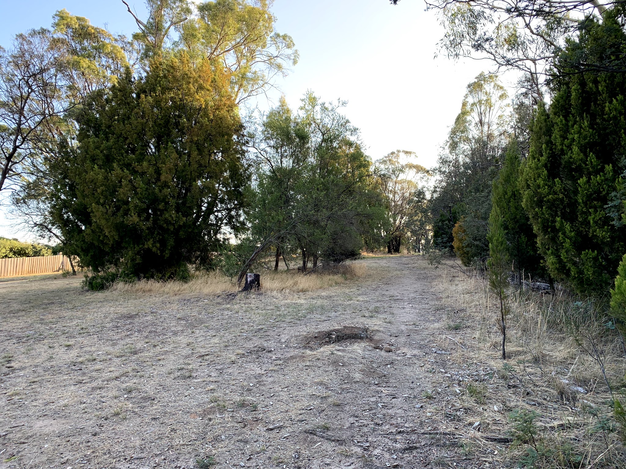
Above: Looking towards the centre of the space. 
Above: Holroyd Cres end looking north
Above: Holroyd Cres end looking south
Above: The fence dividing the space from the school grounds at the east end. 

Above: And from just within the school grounds, looking in to the space. (BTW it was two days before Christmas, school holidays!).

I didn't go to the south boundary of the fence as the woman with the dog you can see in a couple of the pictures was in that area and as should be clear by now, to not mess with members of the general public is one of my mottos. 

A fairly similar stroll to mine is captured here, but as mentioned above I didn't see the commemorative plaque.

Google maps link.

* I can't find any information anywhere about the Friends of Kalinda, mentioned on the plaque, but there is a character called Kalinda in The Good Wife and she has friends, so naturally this reality would push out anything else to do with a Melbourne suburb, friended or otherwise. 

Saturday, December 26, 2020

Bluegum Park, Youngtown, Tasmania

It is difficult to upload my 2002 photos of Launceston internal reserves as they are glossy prints more suitable to scanning than re-photographing, which is all I'm able to do in the current pandemic. Here are four images of Bluegum Park from 9 February 2002. 


And here are images of the same space on 6 February 2020: 


 Locate it here. 

Tuesday, December 22, 2020

Reserve between Miller St, David St and Syme Crescent, O'Connor, ACT

View it here. 

This is apparently the only survivor of the umpteen internal reserves the Griffins originally intended to sprinkle throughout Canberra. How it came to be built and how it has come to survive is a mystery. Its interior has a very pleasant rural atmosphere and evidence of occasional, but not concerted or frequent, use. 

Syme Crescent - the lamppost signifies the entranceway. 
Entrance. 


Same entrance - there's only one, apart from gates from backyards. 

Visited 8 December 2020. 

Ohvitseride (Officer's) Park, Tartu, Estonia

You can find it here . I visited on 8 July 2026.  Estonian wikipedia says: The park covers an area of ​​8,424 m² and formerly served as the ...