Naenae, in the Lower Hutt region of Wellington, was designed by the Austrian-New Zealander Ernst Plischke in the early 1940s. See Ian Bowman's paper 'Translating the New Old-World into the New New-World' for broad details on the plan (though Bowman is principally concerned with the redesigned commercial centre; he says little about the 'residential, industrial and sub-commercial areas' of Naenae except that they 'were implemented largely unchanged'). This particular visit to Naenae was largely to look at
this internal reserve. But first, some context:
Local colour - an underpass mural
I would invite you to have a look at the site in Google Maps via the link above.
It strikes me that it is quite possible that this section of Oxford Terrace once featured a row of blocks with internal reserves within, which have since been filled with housing. This lane leads to a cluster of houses which may well be filling a former internal reserve space. (see below)
An example of the attractive small homes in this part of Naenae
Another lane way leading to housing. See above.
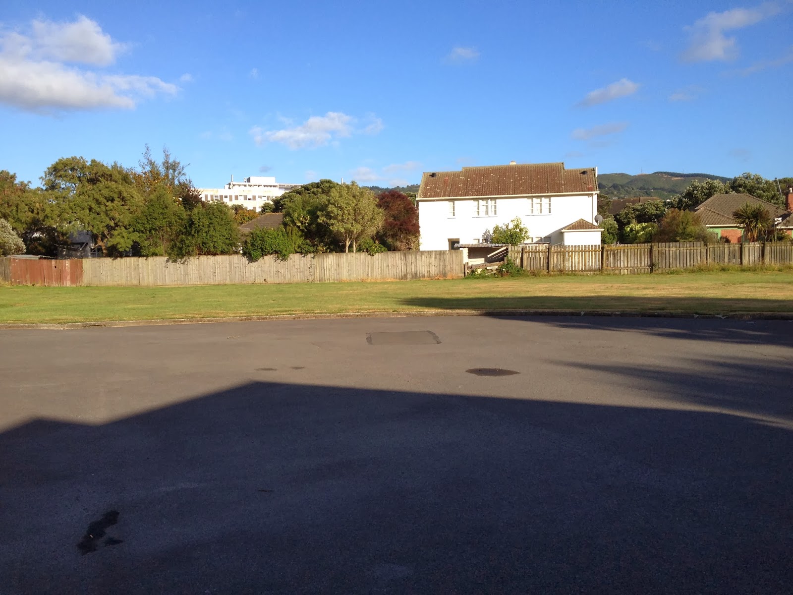
The entranceway to the internal reserve in question - from Lincoln Avenue.
Cat frozen in attack/retreat mode as seen from lane way. Probably people are unprecedented at this hour (7:30 am or so on a public holiday).
The end of the Lincoln Avenue lane way.
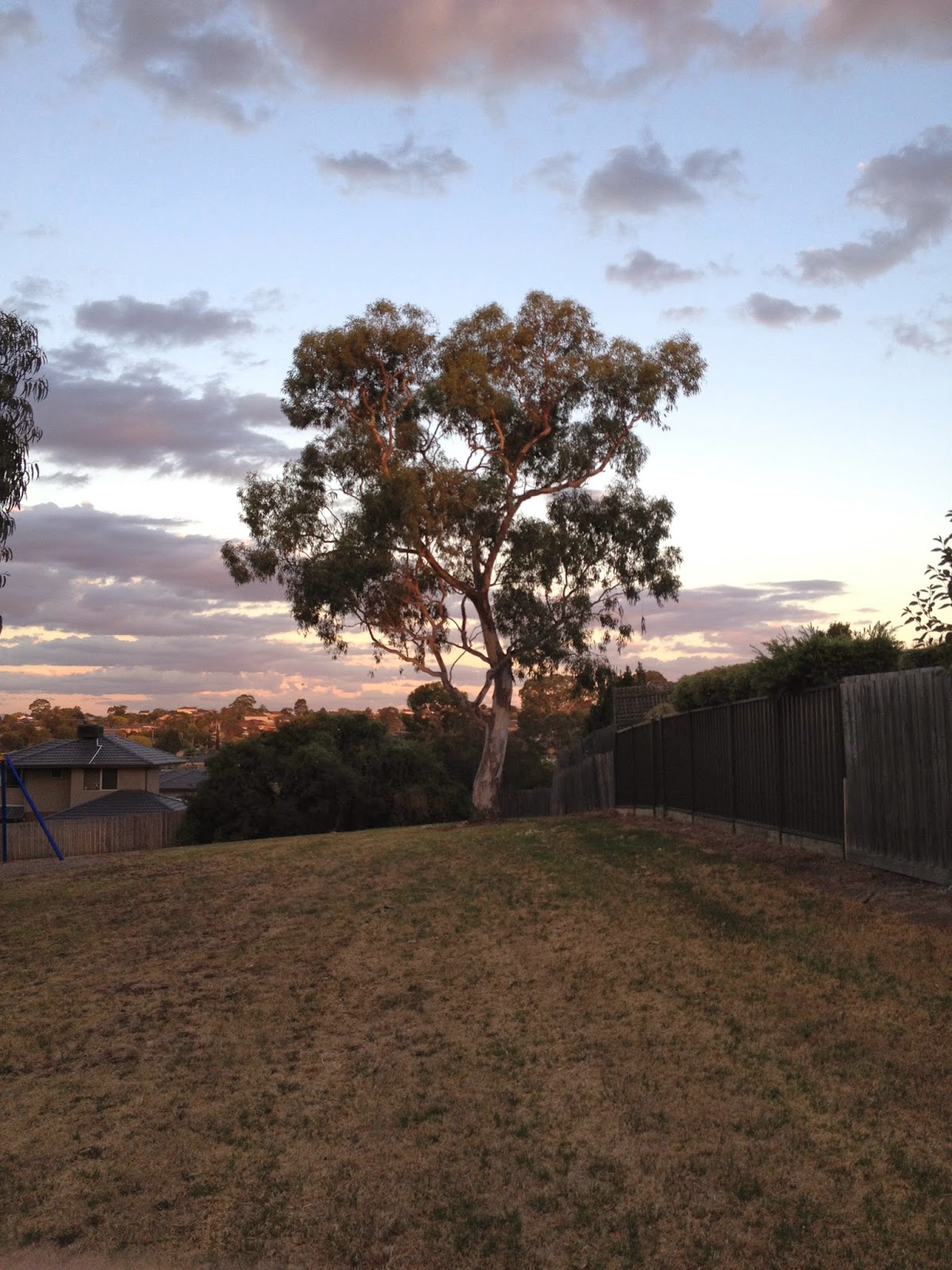
Trees at north-east corner of the triangular space. There are a number of mature trees and some adhoc play equipment (swings) in the reserve.
South-western end (it was reasonably early in the morning and the sun was still low, hence the variable light in these pictures.) Two residences have wire fences. All yards are very shallow.
Into the space looking towards Roberts Street from the Lincoln Ave side.
Looking north-west from the Oxford Terrace side.
I hope it is clear from this image (it's not from the google map) but this, the Oxford Terrace entry point, is oddly 'funnelled', that is, it's wider in the reserve than on the street, suggesting an element of a grander entranceway at this point than the other two entrances. Perhaps there was an idea to landscape or otherwise add a structure of some sort to this point of entry?
20 February 2014, Re: the theory on encroached IR space above: I have finally got my hands on Ben Schraeder's out-of-print and hard-to-find
We Call It Home: A History of State Housing in New Zealand. Schraeder prints Ernst Pischke's original plan for Naenae on p. 169, and while the above reserve appears in the plan, there weren't any other internal reserves nearby in 1946. Which doesn't really explain why the property boundaries within the blocks are so strangely constructed - in a way, that fact just frames a different question.
As an aside, I did a quick search on Naenae in the Australian digitised newspapers and found only
this from the Queensland newspaper The Worker, very interesting though only peripherally relevant to any study of IRs. Schraeder's book talks a lot about Plischke's vision for Naenae as a 'garden city' (pp. 170-1) though I feel personally he doesn't properly represent the nuances of the IR seeing it instead as a manifestation of Radburn and/or 'garden city ideas' which I personally don't feel it really is, though it has connections to both. Plischke's interest in San Marco Square, Venice, as a template for Naenae's community centre is similarly a fascinating notion although trying to make a case for the IR above as having any connection to this is drawing a long, long,
long bow.